The trail starts where the asphalt ends, past the second wooden bridge from the estate. You'll see a stone marker the size of a child's shoe — that's the trailhead. There's no sign because the family who maintained the path passed away in 2014 and nobody replaced the sign.
The first hour is forest. Beech, then spruce, then a clearing where, if the morning is right, you'll see a roe deer and pretend it didn't see you. The path is steady, never steep. About 220 metres of climb in the first 4 km.
The second hour gets interesting. The trail crosses a stream three times — wear shoes that don't mind being wet — and emerges onto a plateau of yellow grass that, in July, is full of butterflies in a way that feels almost rude. This is where most hikers turn back. Don't.
Follow the rocks marked with red dots for another forty minutes. The dots are old; some are scrubbed almost invisible by weather. There's a moment where you'll think you've lost the trail. You haven't — keep heading slightly left until the dots reappear.
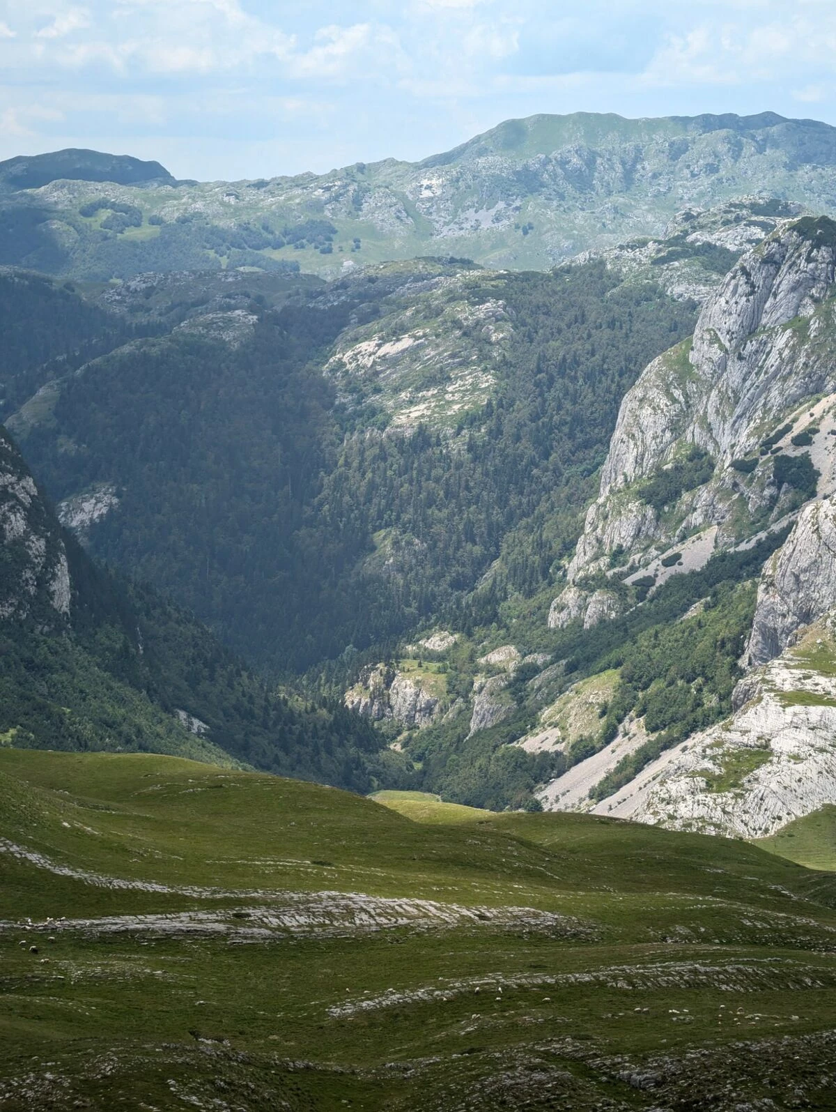
The katun is in a depression you don't see until you're on top of it. Three stone houses, two of them roofless, one still solid. Nobody has summered here in nine years. The well is dry. The view is, frankly, the best in this part of the mountain.
Eat your sandwich. Don't take stones. Walk back the way you came — the loop variant that some online sites describe is unstable in wet weather and we don't recommend it.
If you'd like to do this with me, I take guests up two or three times a season. It's part of the Wild North day.